hi guys
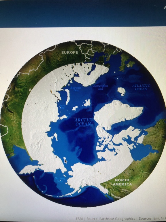
look at this map published by nga. can anyone in this forum speak to why there are no image pixels in these maps? i could not find any. i thought arc gis is set up to add attributes to pixels as layers ? this seems to be completely without any image data which makes me think it is fabricated and not our true arctic regions.
look at this map published by nga. can anyone in this forum speak to why there are no image pixels in these maps? i could not find any. i thought arc gis is set up to add attributes to pixels as layers ? this seems to be completely without any image data which makes me think it is fabricated and not our true arctic regions.